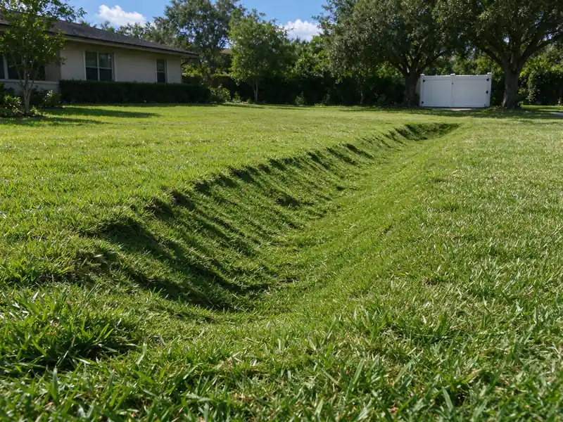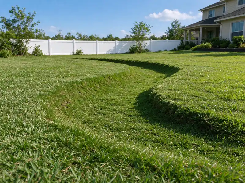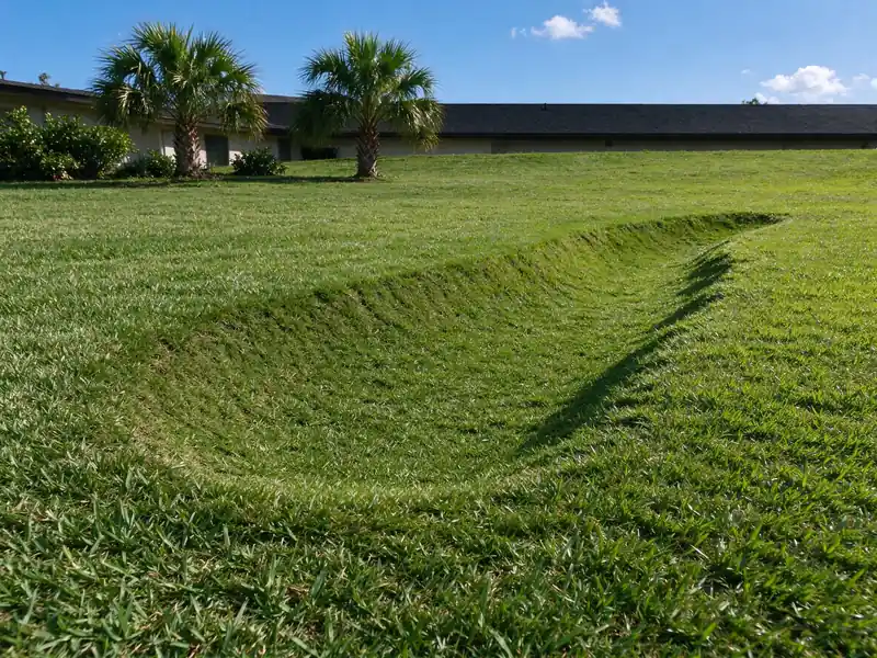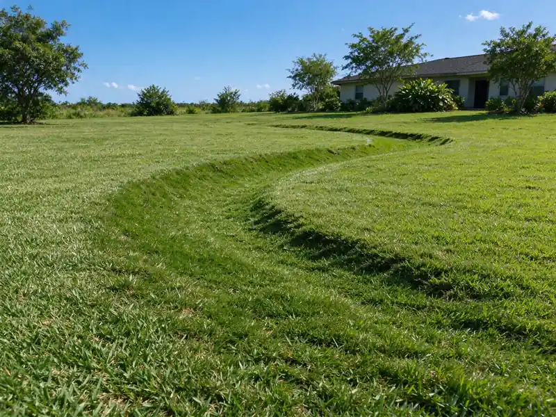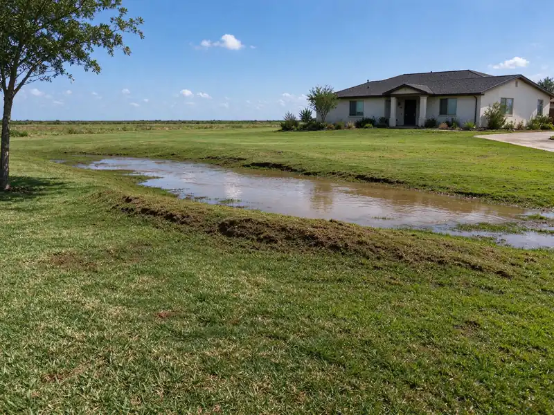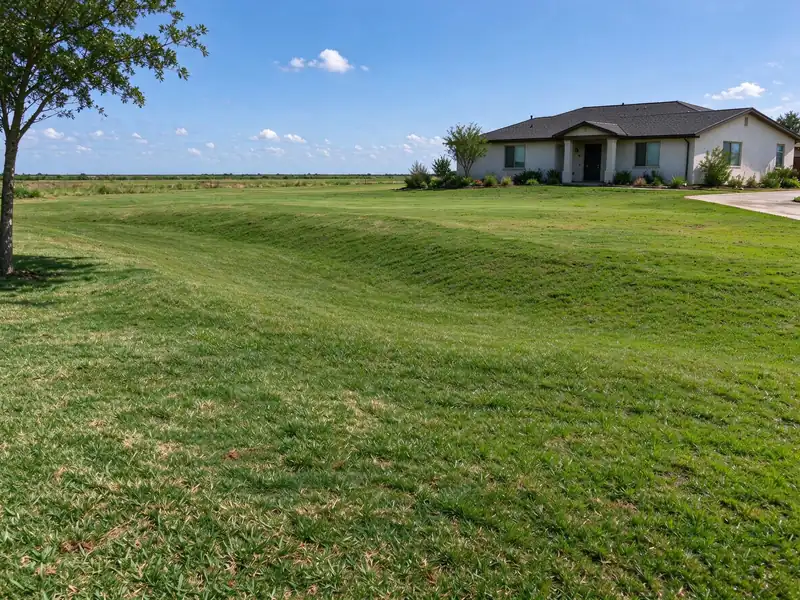
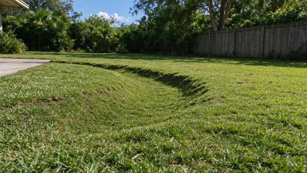
Grading changes the surface route water follows. A swale is a shaped shallow route within that surface. Quay offers grading and swale drainage work for private properties in Corpus Christi where changing finished levels can address a defined runoff problem. The work should begin with measured ground and receiving conditions, then explain how the changed surface reconnects to the property around it.
Adding soil beside a wet area is not automatically a drainage solution. It may displace water toward another building, interrupt a historical flow path or create a new low point at the edge of the work. The complete drainage guide places surface shaping within the wider source-to-outlet decision.
Measure the existing surface and receiving level
Identify the source of water and the route available across the property. A broad lawn that appears level may still have small ridges or depressions that control runoff. Eye-level impressions do not establish usable fall. Ask which elevations will be measured and how they relate to buildings, hardscape, boundaries and the intended receiving area.
The destination matters as much as the starting point. Lowering one area will not help if the route ends behind higher ground or meets receiving water that rises during rain. The no-gravity-outlet guide explains why earthwork cannot create a usable gravity route where the necessary elevation difference is absent. Avoid selecting excavation depth before the whole surface path has been considered.
Choose a swale or broader regrading
A swale directs runoff along a defined shallow depression. Broader regrading changes a larger surface so water travels toward an appropriate route. Their suitability depends on available space, surrounding levels and use of the area. A narrow side yard, an open lawn and the edge of a parking area may offer different opportunities and constraints.
The proposed surface should be understandable in the plan and on the finished property. Ask where water enters the swale, where it leaves and how people or equipment cross it. A channel or basin may be useful at a transition, but those components still need an outlet. Compare yard drainage and catch basin installation when surface shaping and point collection are being combined.
Rejoin unchanged ground without creating another trap
Every grading project has edges. New levels need to meet existing lawn, paving, walls, fences and neighboring surfaces without forming an unintended ridge or pocket. A plan that works only inside the excavation area can fail at its perimeter. Ask how each side of the changed ground will connect and what happens beyond the drawn limit of work.
Buildings and fixed equipment impose additional constraints. Do not assume soil can be piled against a wall, fence or equipment base simply to achieve the preferred lawn profile. Appropriate clearances and support need their own consideration. Where the visible concern is water near a building, the foundation drainage service separates water routing from structural repair and other building work.
Preserve shared flow and confirm approvals
Runoff may cross more than one property or follow an existing easement. A change that appears beneficial to one lot can obstruct incoming flow or concentrate discharge downstream. Document the existing direction before assuming it can be blocked, redirected or transferred across a boundary. The neighbor-runoff guide explains the observations to gather without offering a legal determination.
Corpus Christi’s flood-risk guidance tells owners to obtain a permit for regrading a lot away from buildings. The applicable review still depends on the actual project. Consult the permit and outlet guide and confirm requirements with the relevant authority before work. Do not apply one city’s instructions automatically to Portland or treat every small repair as the same form of development.
Account for excavation, fill and access
The existing soil, proposed cut and fill, equipment access and spoil handling affect both feasibility and price. Importing material is different from redistributing material already on site. Unsuitable or surplus material may need removal. Ask how those quantities will be assessed and whether the proposal includes hauling, access protection and reinstatement of equipment routes.
Known irrigation, lighting and other private services need to be identified alongside public utility location. A new swale may cross a line that was shallow enough for the previous lawn profile but conflicts with the proposed finish. Avoid digging to investigate services yourself. Share records and let the project plan address protection, relocation responsibility or a changed route before excavation begins.
Stabilize the disturbed surface
Bare earth can erode or carry sediment into downstream collection points. The proposal should describe how the new route is stabilized for its use and expected flow. Turf, planting and other treatments have different installation and maintenance requirements. A finished shape without suitable surface treatment may not remain the intended shape after rainfall.
Restoration also needs a clear boundary. Confirm whether new turf, seed, bed reconstruction or paving transitions are included, and who handles care after installation. The installation and restoration guide helps separate backfilled ground from a specified finished landscape. No establishment time or maintenance-free performance should be assumed simply because vegetation is part of the proposal.
Compare grading costs by quantities and finish
Compare the estimate against the actual investigation, receiving route and agreed finish rather than treating a single unit price as the complete project. Area, depth, cut-and-fill balance, material, hauling, access, utility conflicts and stabilization can each change the scope. A price based only on the visible wet patch may omit the longer route needed to reach a receiving point. Compare the whole changed surface rather than an isolated square-foot rate.
The cost guide explains how to compare unlike drainage methods without inventing a shared unit price. Use the estimate checklist to identify measured levels, material allowances, approvals and restoration. Ask what happens if existing conditions differ from what can be seen before excavation and how a proposed change will be agreed before additional work proceeds.
Check the route as a surface system
Before completion, walk the agreed route and compare its transitions with the intended plan. Identify the direction of flow, the receiving area and any connected inlets. A controlled water check can be useful where appropriate, but it does not reproduce every storm or prove that downstream public drainage will always have capacity.
Keep later landscape changes from interrupting the finished route. Raised edging, new beds, fence work and paving can recreate barriers even after the original grading was useful. The maintenance guide includes surface observations, and drainage inspections can assess changed behavior. Request an estimate with the affected area, apparent water source, existing boundaries and intended use of the finished space described.
Compare a swale with underground conveyance
A swale keeps water moving along a shaped surface; an underground route carries collected water through pipe. Available room, crossings, maintenance and receiver levels can change the choice. Surface shaping may also help manage localized runoff and erosion, but a concentrated discharge can erode the new receiving area if its finish is unsuitable. Explain both the route and stabilization rather than treating a swale as simply an unlined trench or assuming buried pipe eliminates the need to consider downstream erosion.